2/7/2009
Woody Gap to Almost Neels Gap
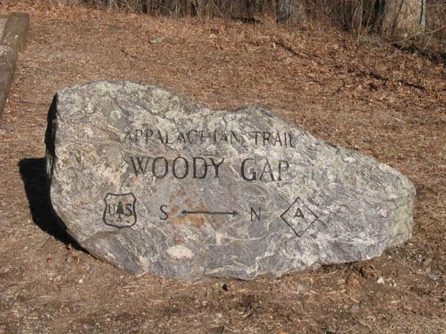
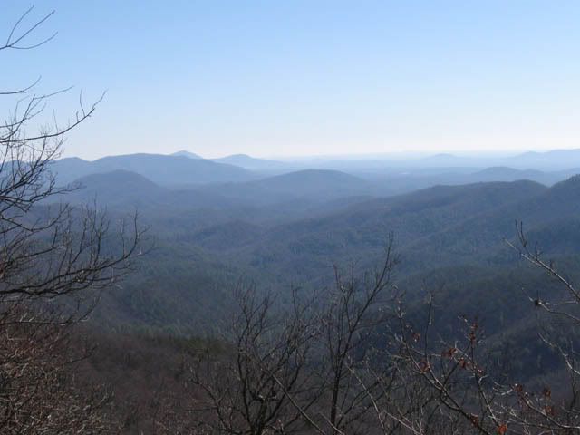
We kicked our hike off this morning at about 10:30 by the time everyone arrived and was geared up. We had a cool, clear morning and it was a nice way to start the day. The initial hike up Big Cedar Mountain sure taxed my legs but the view was worth it.
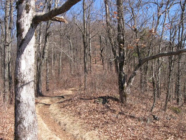
It didn't take us too long to make it to the junction with the Jarrard Gap Trail. That's 5.6 miles in from Woody Gap. We waited about an hour here for the last two to finally drag in before we took off in three different groups.
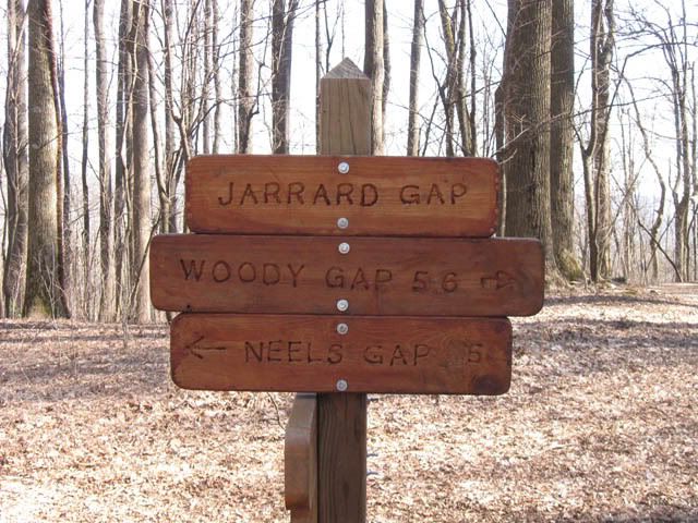
Things didn't quite go as planned this afternoon after leaving this point, though. I and one other guy were in the middle. Apparently we got bad info on where to turn and we're on our own now. Instead of going over Blood Mtn we're going around it. We already have a long hike tomorrow. I hope this doesn't add much to it. I'm bummed that I'm missing the peak.
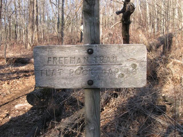
We're fine, though. We walked close to 9 miles until we found a place to make a campsite. As it turns out we have a nice supply of fresh water. That was a welcome relief.

The plan is to get on the trail early to rejoin the group at Neels Gap. We're keeping our fingers crossed. :-)
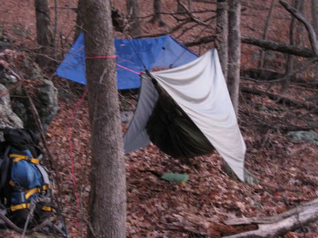
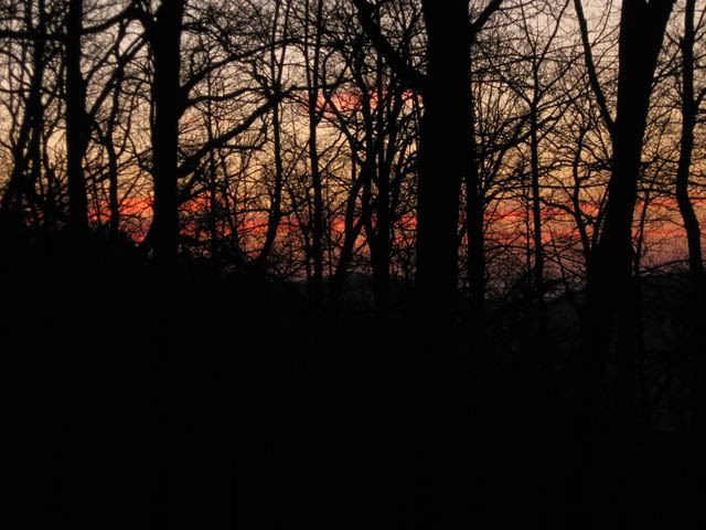
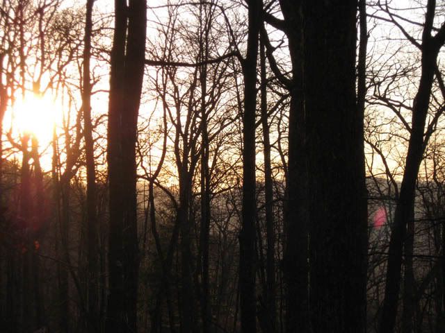
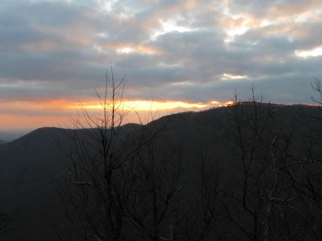
We setup our hammocks and enjoyed a nice sunset before fixing dinner and turning in for an early night.
2/8/2009
Heading to Neels Gap
Well, we had a beautiful sunrise this morning and broke camp 10 to 9. We only made it less than 1/4 mile before we hooked up with the AT again at the crossroads of the Byron Reese Trail. I looked up the AT towards Blood Mtn and saw one of our guys coming down. He'd left early to try and catch us.
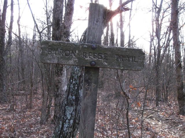
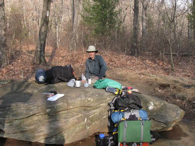
We've been waiting close to any hour for the rest of the gang. Hopefully they'll be along shortly since we have a good 10-11 miles ahead of us and I sure don't want to be hiking in the dark.
Sent via BlackBerry from T-Mobile
Since it was obviously going to take a while for the others to arrive we decided to break out some coffee and D hadn't had breakfast yet since he left so early.
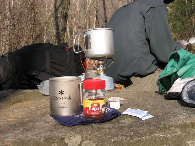

Once the next two guys showed up we took off. However, two of the guys went down the Byron Reece trail to the parking lot and the other three of us headed down the AT to Neels and Walasi-Yi.
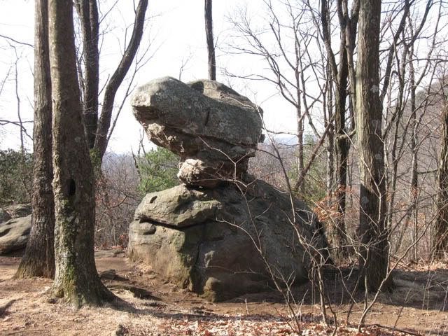
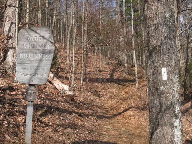

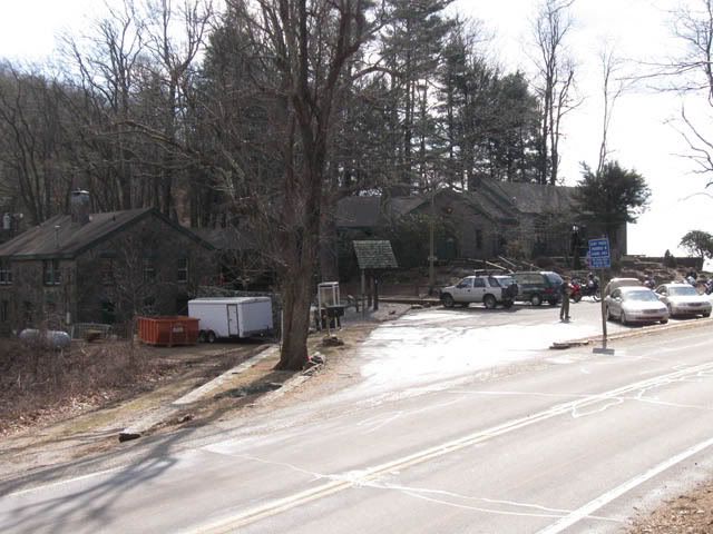
M & T both had to leave today so after picking up the vehicle at the parking lot they met us at Neels where we said goodbye. We waited 2 more hours for the remainder of our group to arrive and everybody ate lunch. The store at Neels is pretty cool but I refrained from buying anything I'd have to carry. :-)
2/9/2009
Neels Gap to Whitley Gap
After everybody was fed we hit the trail again. Next stop Tesnatee Gap. One interesting point about Walasi-Yi is that this is the only place on the AT where the trail actually goes through a structure.
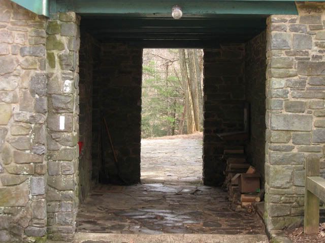
After walking through the building and saying goodbye to civilization we headed up the trail to the Gap.
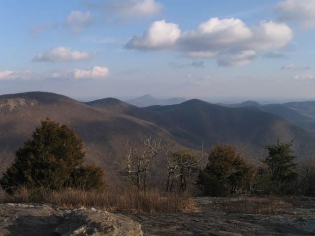
It was interesting to see something I hadn't thought about before. How do you blaze when trees are limited? Well, you blaze the ground.
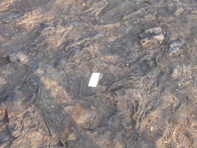
According to somebody back at the store there'd been snow on the ground as recently as Wed and Thur. There was still some snow and ice along the way and the trail was very muddy in sections.

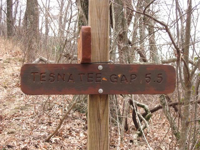
After 5.5 miles we finally hit the Gap. There was a nice couple waiting in their pickup that offered us a ride to Hogpen. I don't know if they were just hoping some hikers would come through or what. We politely declined and said we needed to hike and they left us to face Wildcat Mountain.
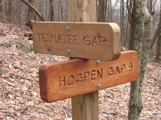
Let me say that Wildcat Mountain kicked my butt. By the time we reached it I was worn out. I had to stop at the Gap and eat a quick snack to give my legs a rest and to psyche myself up. Looking up the mountain it appeared daunting. Reality was harsh and brutal. Hiking trails in Florida my legs aren't used to climbing near vertical switchbacks. Unfortunately that accurately describes the scene at Wildcat.
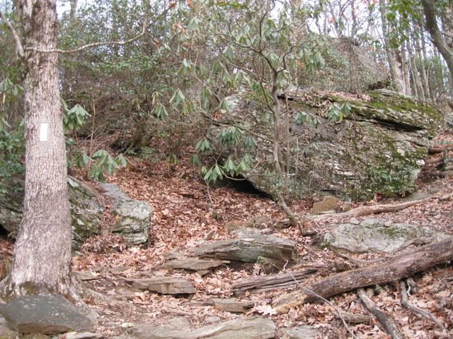
It seemed like it took me forever to make the ascent. I took a lot of breaks and methodically worked my way from one switchback to the next. I was surprised that when I reached the top it had only taken me about 30 minutes. I had to move fast, though. Daylight was coming to a close and I'd accidentally packed my headlamp in my hammock which was tucked away in my pack. Sunset was on the horizon.
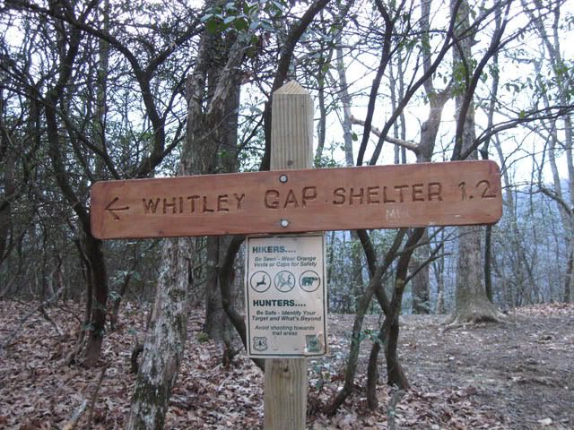
You'd think it would have been a great joy to see the sign for the Whitley Gap trail. I suppose it was, but it was also an anxious time. I was rapidly losing daylight and I still had 1.2 miles to hike down the mountain to the shelter.
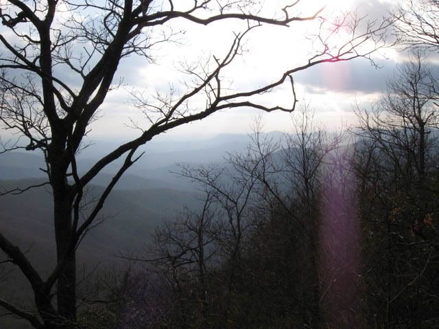
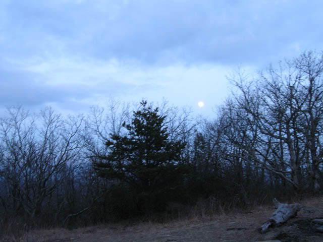
Even as I was rushing to get down before I was taking a huge risk and hiking in the dark without my lamp I had to stop and enjoy the moonlit scene appearing before me.
I could barely see the shelter as I stepped off the trail and it was a very welcome sight. I immediately set about dumping my pack. It's not really riding well on me and my shoulders were killing me. I arrived at the shelter just before I lost all daylight. The last two guys made it there using their headlamps.
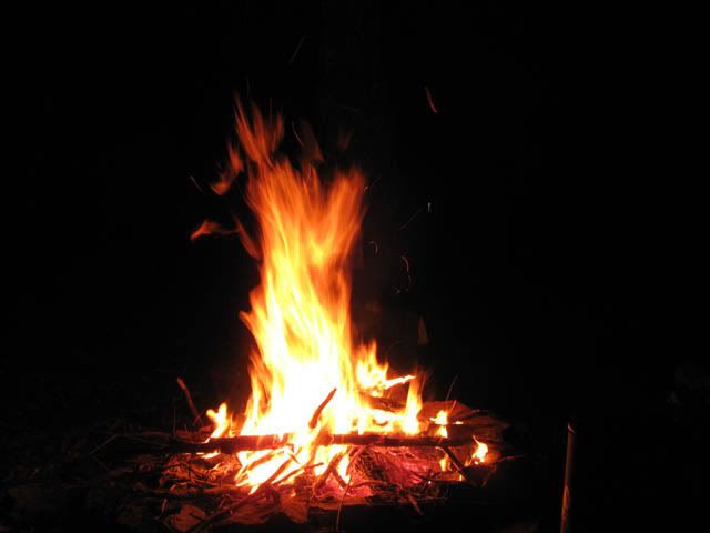
As some of us headed down to the spring to refresh our water supply one of the other guys started a nice fire. It sure did feel good to have that when we got back. It made a nice backdrop for our dinner. We sat around the fire for a couple of hours before letting it die down so we could retire for the evening.
2/10/2009
Whitley Gap to Hogpen Gap
As everybody woke up we sat with what remained of the fire and enjoyed a simple breakfast. It was a nice, relaxed time.
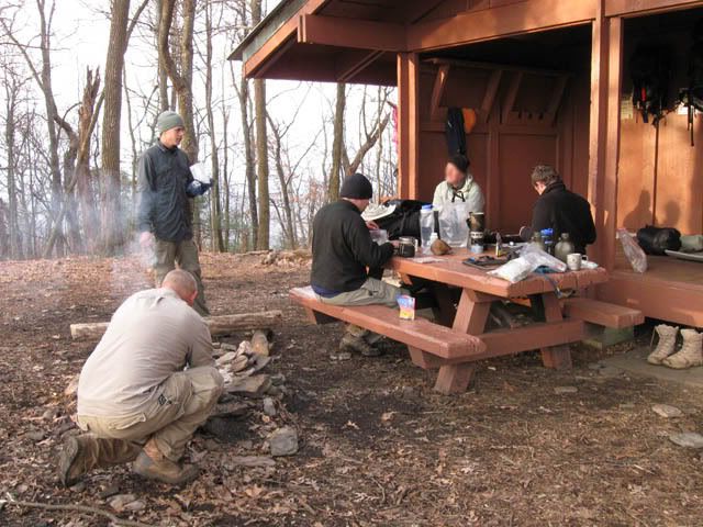
Well, the last day of the hike was pretty easy and definitely brief. Knowing that we didn't have a long hike ahead of us I decided to sleep in a little. It sure felt good. The others started rolling out of bed, though, and I was close enough to the shelter that I heard them and eventually rolled out myself. We had a relaxed breakfast and then set about breaking down camp.
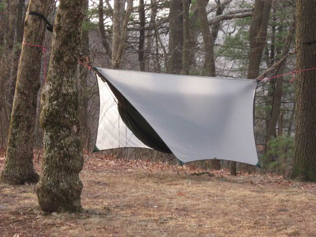
The hike back up the Whitley Gap trail kind of sucked. My legs were ready to get to the top. Like most of the climbs, though, it didn't last long. In about 30 minutes I was at the top of the mountain and hopped back on the AT for the short hike down to Hogpen. It was a beautiful sight to see my truck sitting there.
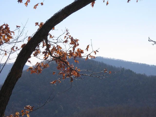
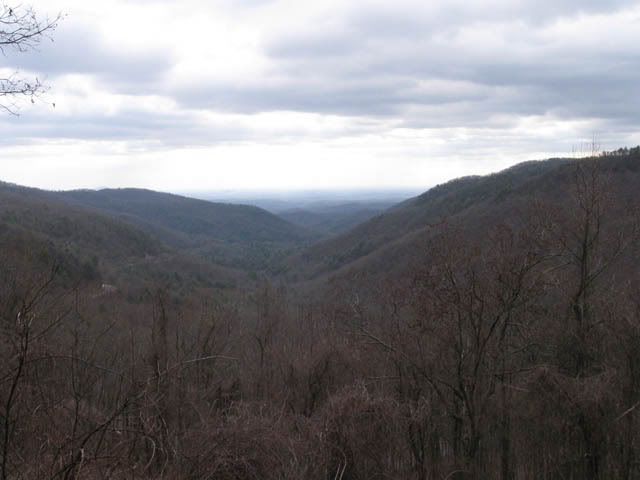
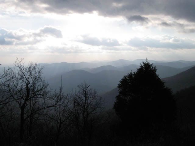
I did take the opportunity on the way out to take some shots of the view I missed while rushing to the shelter the night before. It sure is some pretty country up there.
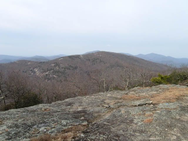
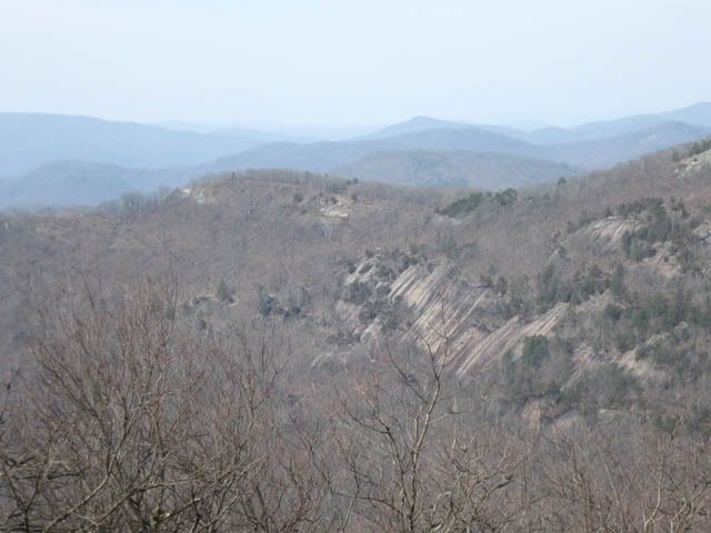

Before you knew it we were back on the AT and making the very short final leg to Hogpen. What a joy it was to see my truck! Mission accomplished!
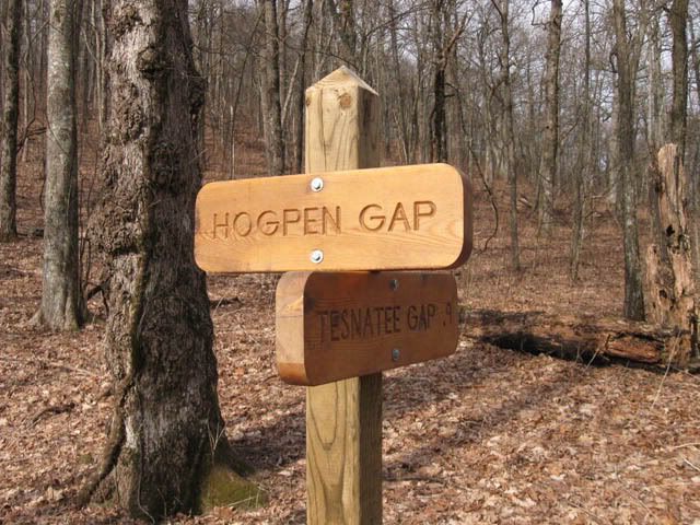
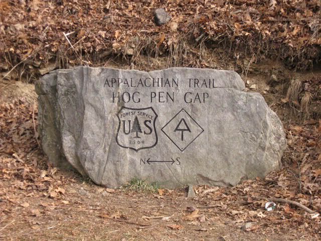
After everyone had made it back to the parking lot we loaded up and headed to Neels to pick up the truck we left there. Then it was on to Woody to pick up the other vehicles. It wasn't long after reaching Woody that we were all starving and wanted some real food. We loaded up again and drove into Dahlonega to grab lunch at the Smith House. Unfortunately, while we were all looking forward to getting our fill of fried chicken and other Southern specialties they were closed on Monday. After regaining our senses we walked to the town center and found someplace else to eat. It wasn't bad, but I sure wish I could've gorged on chicken.
After lunch four of us headed back towards Lawrenceville and the other headed towards his house. We made a quick stop at REI in Buford and I got a few things. They didn't have the descender rings or Snow Peak windscreen I wanted but I did get some new stakes, some plasticware, and small Nalgene bottles. One of the guys left us at that point and the three amigos headed to Wal-Mart where I picked up some ripstop. Our FL stores don't seem to offer that so I picked up 10 yards.
From Wally World we lost one more before two of us headed to the house. It sure felt good to jump in the shower and wash off the trail. I was very happy to not have to smell myself for the long drive home. I finally got on the road at 5:30 and surprisingly didn't have a problem with traffic. I was on I-75 headed south before too long. I made decent time considering the 50 mph construction zones and pulled into the driveway at 11:30. The total mileage for the drive was 887.8 miles roundtrip.
It's good to be home but I'm already looking forward to the next hike.

Post a Comment